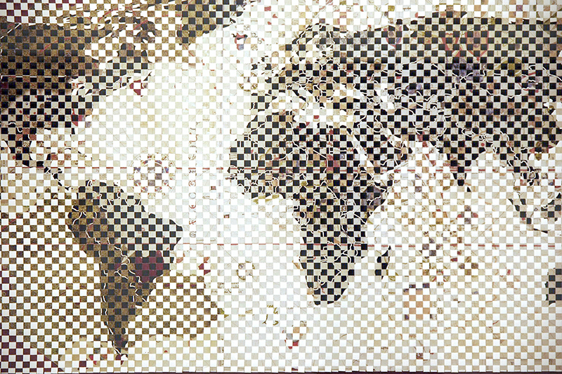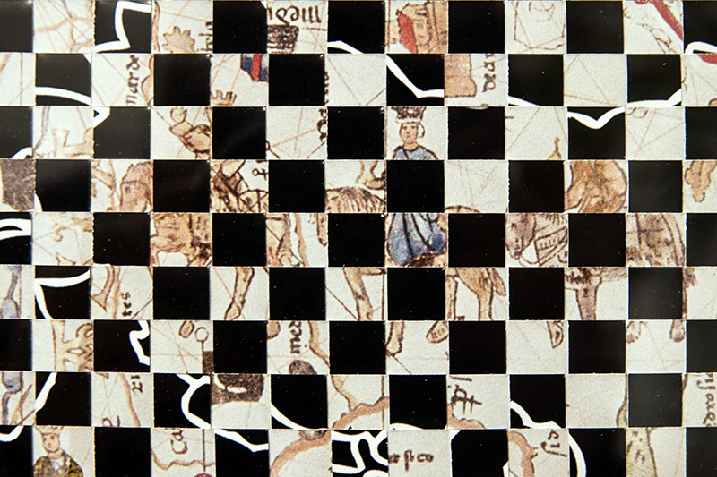
Juan de la Cosa
2019 / Interwoven paper / 130X70cm
The type of representation used in today’s world maps can be traced back to Juan de la Cosa’s nautical chart, created in 1500 after his first-hand experiences on Columbus’s expeditions. In this piece, I have interwoven that first world map with the one we are more familiar with now, i.e. the Mercator projection. My aim was to find links between the novel elements introduced by Juan de la Cosa (such as the presence of the American continent, and the inclusion of scales on the edge of the map) and the changes proposed in Mercator’s version (which respects the forms of the continents, but not their sizes).