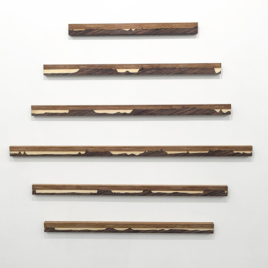
Ideal Cuts
2019 / Intarsia / 165x145cm
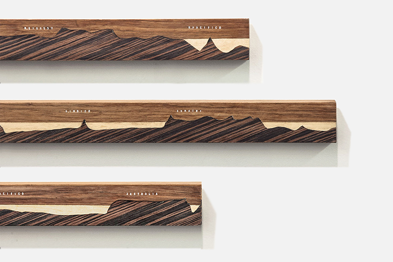
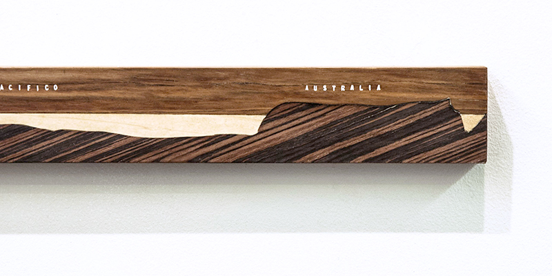
The imaginary cuts or cross-sections of the Earth, at different latitudes, offer further surface information on world maps, showing the continents’ hypsometric layout with regards to average sea levels. In this piece, I combine, in one object, the stadiametric perspective from topography (for measuring inclines) with images taken from a schoolbook world map, representing different ideal cuts at various latitudes: at the Equator, and at the 30th, 45th and 60th parallels, both North and South.